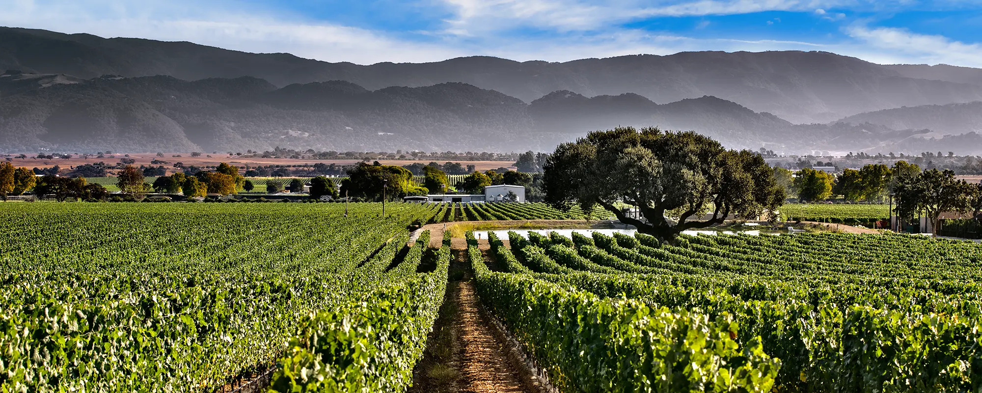
Rancho Cañada de los Pinos Terroir
Appellation
Los Olivos District is an American Viticultural Area (AVA) situated in Santa Barbara County, California, approximately 30 miles from the Pacific Ocean. Established in early 2016, it is a sub-region of the Santa Ynez Valley AVA and spans an area of roughly 22,820 acres. The district's boundaries are defined by the neighboring AVAs of Ballard Canyon to the west and Happy Canyon of Santa Barbara to the east. The AVA includes the townships of Ballard, Santa Ynez, Los Olivos, and Solvang. It extends south to the Santa Ynez River and north to 1,000 feet in elevation.
The AVA includes more than 1,200 planted acres across 47 vineyards and more than a dozen wineries.
It is distinguished by its relatively uniform topography, geology, and soil profile.

Location
Rancho Cañada de Los Pinos runs from Roblar Avenue on the north to Casey Avenue on the south, a half mile west of Mora Avenue in Santa Ynez. See the location on Mapcarta here.
Climate
The average growing degree days (5 year average) is 3,234, Growing Region III.
The vineyard’s inland location reduces the marine fog to only a thin layer. This low level of fog produces warm daytime temperatures, with the average highs of 85-90° during the growing months and cool nighttime temperatures, with an average low of 45°.
This climate is beneficial to fruit ripening, sugar production and the maintenance of grape acidity.
Soils
Los Olivos District sits on a broad alluvial terrace above the Santa Ynez River. Soils range from moderate to well-drained sandy and clay loam soils with good quantities of nutrients.
Our ranch consists of three soil series:
- Ballard gravelly fine sandy loam [BbC], which consists of deep, well drained soils that formed in alluvial material from sedimentary rocks.
- Santa Ynez gravelly fine sandy loam [SnC], consisting of deep, moderately well drained soils that formed in material weathered in alluvium from shale, sandstone and granite.
- Positas fine sandy loam [PtC], which consists of deep and very deep, moderately well drained soils that formed in alluvial material from mixed rock sources and are on stream terraces.
The mixture of well-drained soils and clay enable excellent moisture holding capacity, while the gravel layers below the topsoil allow for well-drained root growth.
In order to fully access the layers of gravel, in the process of preparing the vineyard, we've deep ripped down 72 inches so that those layers are fully accessible to the vines. We irrigate and manipulate the plants so they have deep roots, which allows them to draw from the water profile and the rainfall of the prior year, giving the plants a strong foundation.
Rainfall
Rainfall is low, with an average of 10-12 inches per year recorded over the last 5 years.
Morphology
The AVA is fairly flat, with rolling hills; an alluvial plain, similar to what is found in Napa around Oakville or Yountville, where, at the base of the mountains, the slopes flatten toward the river.
The vineyard has a 100-foot fall from the north to the south which is just enough slope for cold temperatures to migrate off the south side of the property and toward the Santa Ynez River. So, although we have full frost protection in place, this natural feature makes frost events few and far between. Excess rainfall runs off the vineyard in the same way.
Elevation
795 ft.


